The UNIGIS Optional Modules (Day 2023):
Design your studies according to your interests!
You decide to study UNIGIS? Then, you know what you want and what awaits you: a university degree in Geoinformatics. Eventually, all this has to be reconciled with your social environment and comes on top of an often busy working life. We at UNIGIS know that and, as a result, the UNIGIS programs are designed to be compact and to support efficient studying. The curriculum lists the courses – called modules – which must be completed. At the beginning of their studies, students are provided with a timetable that specifies the sequence of these compulsory modules. In such a fixed framework, one might wonder: Where is the opportunity to define one’s own focus, to explore new areas, or to simply try out the unknown?
Allow me to answer this question with reference to the curriculum: The curriculum includes a section called “Elective Subjects”. For the UNIGIS Master of Science program, 24 ECTS credits have to be earned; for the UNIGIS professional certificate, the quantum is correspondingly lower with 18 ECTS. This offers an extensive scope for individual design in one’s study path. With the Optional Modules, UNIGIS offers a colourful bouquet of method- and application-oriented courses that can be combined as desired, and they can be taken as “Elective Subjects”. This extensive offer is equally available to all UNIGIS students. As a result, the usual groups, within which the compulsory modules are conducted, are left and students are mixed together anew every time an Optional Module starts. This “remix” considerably expands the network of UNIGIS members and ensures inspiring exchanges across languages and course boundaries.
Now, what can taking ‘Optional Modules’ look like?
Well, there’s no general answer to this question because the study paths are designed individually, as every student chooses their Optional Modules by themselves. But, take a closer look at the following examples that illustrate scenarios as they occur in real-life and introduce the different Optional Modules:

1. Halima, ecologist:
Halima is an ecologist and works in a large office for landscape and environmental planning. Her tasks include monitoring Natura2000 protected areas and the spread of invasive plant species. The office works mainly with ESRI products. At regular intervals, Halima receives the data of the status survey of the protected areas from the responsible departments. After completing the Optional Module “Geoprocessing with Python”, the individual reprojection, harmonization, and storage of these datasets in a geodatabase has, finally, come to an end. Halima lets the Python scripts work. In the meantime, she devotes herself to other questions, such as the problem of quantifying landscape structures and how they change over time. The Optional Module “Landscape Analysis with GIS” fits like a glove and Halima’s competence in the field of spatial analysis increases substantially. The Optional Module “Spatial Simulation” is challenging for Halima, as it means a step out of the ESRI world she is familiar with. However, thanks to the Python skills she has already acquired, it is not difficult for her to have her first agents whizzing through the virtual environment after only a short amount of time. In the end, she is glad she took the plunge, as agent-based simulation is a perfectly suitable method for her propagation models. Halima is helping to open up new areas of business for her office by creating scenarios and simulating measures against invasive species.

2. Bernhard, business owner:
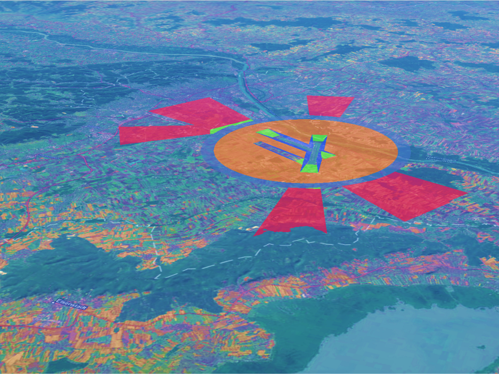
Bernhard has just started his own business. Quite some time passed since he finished his geography studies, and after several years in the cantonal administration, it was time to try out something new. He thought: Why not turn his hobby into a profession and offer drone flights? The Optional Module “LiDAR in theory and application” illustrates to Bernhard the added value of this technology and provides him with sufficient basic knowledge to upgrade his drone with a compatible LiDAR device. This enables him to create highly accurate terrain models, capture building facades, and derive highly detailed 3D models. Whenever larger areas are requested by Bernhard’s clients, the drone is no longer his tool of choice; however, satellite images could be a suitable option in such cases. The question that remains is: Which ones are suitable, how can they be searched for, and how can they be processed? In the Optional Module “Remote Sensing” Bernhard does not only get answers to these practical questions, but he also learns all sorts of useful information and methods – from the physics of satellite remote sensing to object-based image analysis! After consulting with the UNIGIS team, Bernhard is convinced that the Optional Module “EuroGIS” would be the perfect pick for him – satellite data is not bound to administrative boundaries, other data sometimes are, which can be a challenge. EU directives and European programs, which seem to be administrative monsters, prove to be extremely helpful in obtaining and combining various geodata. Since Bernhard is repeatedly asked how his data can be integrated best into his clients’ existing IT infrastructures, he takes “Enterprise GIS” as a fourth Optional Module. Here, he learns how important standardized formats and interfaces are, and he learns about the added value of GIS being consistently “thought through” from mobile devices to server infrastructure.

3. Sandra, marketing consultant:
Sandra is a real GIS novice. However, the further she’s into her study program, the greater is her desire to put her work as a marketing consultant “onto the map”. The Optional Module “Geomarketing and Business GIS in Practice” is a perfect choice for her. To be even more flexible in the future and to be able to design her own map-based web applications when required, Sandra decides to take the optional module “Developing Web-Applications with JS and Leaflet”. While reading up on the contents of the course, she realizes that she should have a look at the basics first; after all, her knowledge of programming is limited to some essentials of web design. After the Optional Module “Basics of Application Development”, however, she feels not only equipped for the other module, but, frankly, highly motivated. Sandra’s curiosity is piqued after taking the two programming modules. Why not add some larger amounts of data from various sources, process it, and later visualize it in the web maps? She still lacks 3 ECTS points for the Elective Subjects module. So, it is clear to her that “Automated Data Processing with R” is the piece of the puzzle that now comes full circle with her idea of creating her own niche.

4. Gerald, GIS specialist:
Gerald is responsible for “everything that has to do with geodata” at a municipal energy supplier. Over the years, it was not only the amount of data that needed to be handled and his competence in dealing with GI systems which grew, but also the small “assistance” programs and extensions he developed. Against this background, the Optional Module “Automated GIS Workflows with QGIS & Python” is a perfect fit for him to upgrade his skills. It becomes clear quickly that the module supervisor, an active developer in the open source scene, is not at a loss when it comes to providing Gerald with brainteasers as well as tips and tricks. Although Gerald is not occupied with animal-, plant-, or air-quality-measurements, he watches over extensive sensor technologies in the supply network. This gives rise to the idea of him taking take the Optional Module “Environmental Monitoring”. Who would have thought he would enjoy it so much? After completing the two Optional Modules, Gerald decides to take the rest of the electives down to his whim. He feels sufficiently equipped in the areas of Geoinformatics that are relevant to him; now, he wants to use his remaining ECTS to get a taste of topics that are not commonplace and to meet colleagues from completely different subject domains. You’ll have to ask Gerald where he ended up – maybe at the big UNIGIS meeting, at the GI_Salzburg conference. 😉
You want to learn more about the UNIGIS Optional Modules? Join the UNIGIS Optional Modules Day 2023!
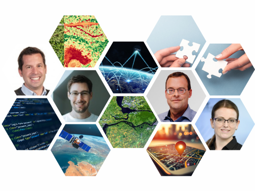
We hope that the examples above provided an insight into the Optional Modules and circumstances that might request or spark interest in one or the other course. Decide for yourself, how YOU could combine the Optional Modules that are offered to support your personal interests or assist your actual work! Of course, the UNIGIS Team ist happy to help. If you want to learn more about the Optional Modules and the latest news firsthand, come to the UNIGIS Optional Modules Day on May 9th, 2023, 4pm CEST. You can ask questions firsthand and meet some of the lecturers, among them are Anita Graser, Christian Neuwirth, and Norbert Hackner. Sign up now – you don’t want to miss this event!
Click here to watch the full recording of the event!
Note: The examples are fictional; the images of the four persons were generated with an AI.


