GIS goes Gaming
Building visual experiences for spatial phenomena using real-time 3D-engines
When comparing the level of detail, textures, shading, and responsiveness of 3D-visualizations within GIS to the virtual worlds, created by the gaming industry, there is no doubt about the winner. No wonder, as GIS arose from the need to organize and analyse spatial data and then “also” map the results, while the foremost goal of most game designs was (and still is) to provide highly (pseudo)realistic and performant 3D-worlds allowing the player as much immersion as technically possible.
So, why not bridge both technologies? Why not use the sophisticated visualization capabilities of contemporary gaming engines like Unreal Engine or Unity to create photorealistic 3D-experiences from geospatial data? As those environments are inherently designed for dynamics, they are also the best bet to include real-time geodata!
Until recently, it was quite cumbersome to tell gaming engines that the real world is round and big. Large coordinate values and geospatial reference systems are simply not required in the world(s) of gaming. This deficit vanished with the latest editions of Unreal Engine and Unity and goes hand in hand with the release of ArcGIS Maps SDK´s for these two big players in summer 2022.
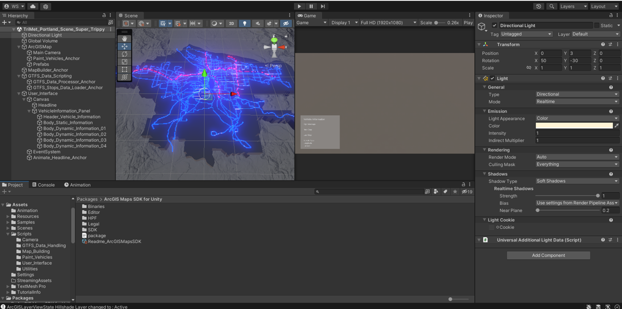
The Portland transportation network within Unity Editor. Source: Winfried Schwan.
An UNIGIS student’s work in the field
Winfried Schwan, a Unity-experienced student from the UNIGIS professional study program, embraced the opportunity: In his excellent UNIGIS professional project thesis “A Digital Twin Tale – The Portland TriMet Network for Public Transportation” he describes the development of a near-real-time 3D-visualization of the public transportation system of Portland, Oregon. To make things happen, Winfried used Unity (and the ESRI ArcGIS SDK for Unity) for this purpose and even went one step further: In order to pass live-transportation data to Unity, he developed an application that constantly fetches and pre-processes the data that is published by the Portland transportation authority in the realtime variant of the General Transit Feed Specification (GTFS).
What might sound like a bulky, technical read, turns out to be a well-crafted, easily accessible text that takes you on a journey through a highly creative project using the latest developments at the intersection of Gaming and GIS. Highly recommended!
His project was also featured in the latest UNIGIS Offline Issue (p. 10-11) , from April 2023*:
UNIGIS Offline: “The Spatial Files: Real-time 3D meets GIS”
* in German only.


