
How to use geoinformatics in indigenous communities
How to use geoinformatics in indigenous communities Digital tools and data shape our everyday lives. A project involving UNIGIS supported the increased use of such approaches in indigenous communities in Latin America, which are struggling with numerous problems ranging from environmental pollution caused by illegal mining to territorial conflicts and [...]

Generative KI in der Geoinformatik: was sie kann und was sie kostet
Generative KI in der Geoinformatik: was sie kann und was sie kostet Der WOW Effekt: superresolution images Fasziniert schiebe ich den slider von links nach rechts und wieder zurück. Ich habe für diesen Blog eine Javascript Anwendung gebastelt, die zeigen soll, was generative KI in der Geoinformatik kann. Das [...]

Vector Tiles und die neuen OGC-Standards: Leistungsanalyse und Anwendungsmöglichkeiten
Vector Tiles und die neuen OGC-Standards: Leistungsanalyse und Anwendungsmöglichkeiten Dieser Artikel hebt die Bedeutung der Bereitstellung von Geodaten nach den neuen OGC Standards hervor und gibt einen Überblick über die Performance verschiedener Vector Tiles Server. Anhand eines Beispiels wird illustriert, wie Vektordaten effektiv als Vector Tiles genutzt werden können [...]
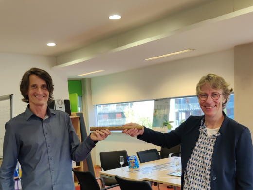
Karl Atzmanstorfer appointed as UNIGIS Director of Studies
Karl Atzmanstorfer appointed as UNIGIS Director of Studies (Dr. Karl Atzmanstorfer symbolically takes over the relay from Program Director Prof. Gudrun Wallentin) Dr. Karl Atzmanstorfer is appointed as the new Director of Studies for the English-language UNIGIS programmes at the University of Salzburg. Karl has worked for UNIGIS Salzburg in [...]
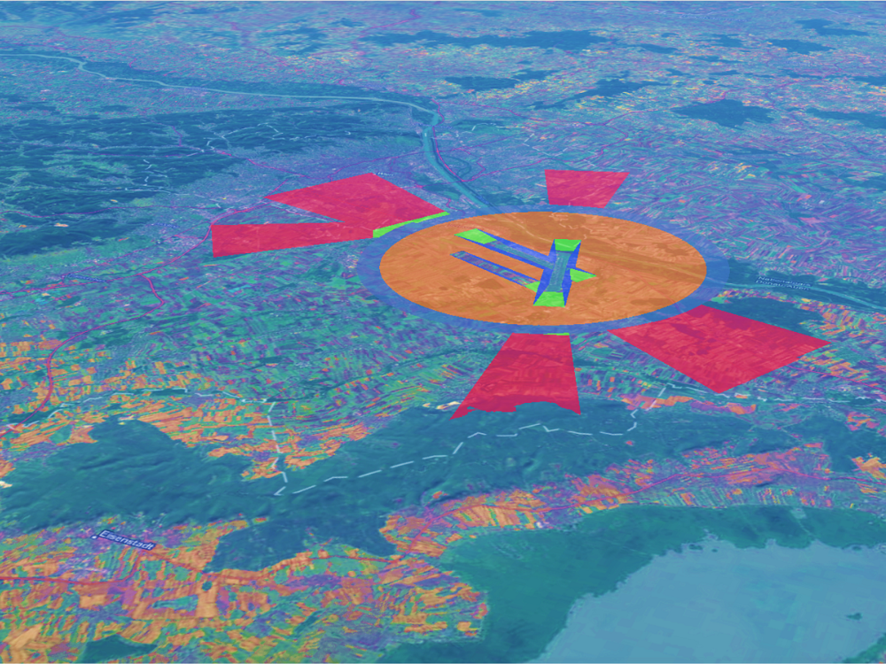
Bridging the Gap between BIM and GIS
Bridging the Gap between BIM and GIS The OLS-project. How can digital building models be validated for air safety-compliance in the vicinity of airports? A UNIGIS master thesis. Figure 1: Model of OLS at Vienna airport In my master thesis titled “BIM- and GIS-Integration for the semi-automatic check of [...]
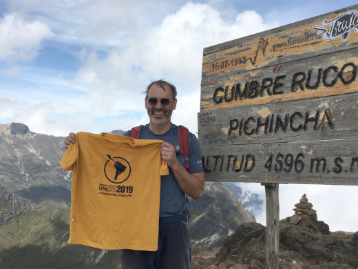
Mit Erasmus+ bei UNIGIS América Latina
Christoph Traun, Studienleiter von UNIGIS professional, unterrichtete über das Erasmus+ Programm an der Universidad San Francisco de Quito (USFQ) und nutzte dort die Gelegenheit unsere dortigen UNIGIS-Partner von UNIGIS América Latina zu treffen.