Vector Tiles und die neuen OGC-Standards: Leistungsanalyse und Anwendungsmöglichkeiten
Vector Tiles und die neuen OGC-Standards: Leistungsanalyse und Anwendungsmöglichkeiten Dieser [...]
Vector Tiles und die neuen OGC-Standards: Leistungsanalyse und Anwendungsmöglichkeiten Dieser [...]
Bridging the Gap between BIM and GIS The OLS-project. How [...]
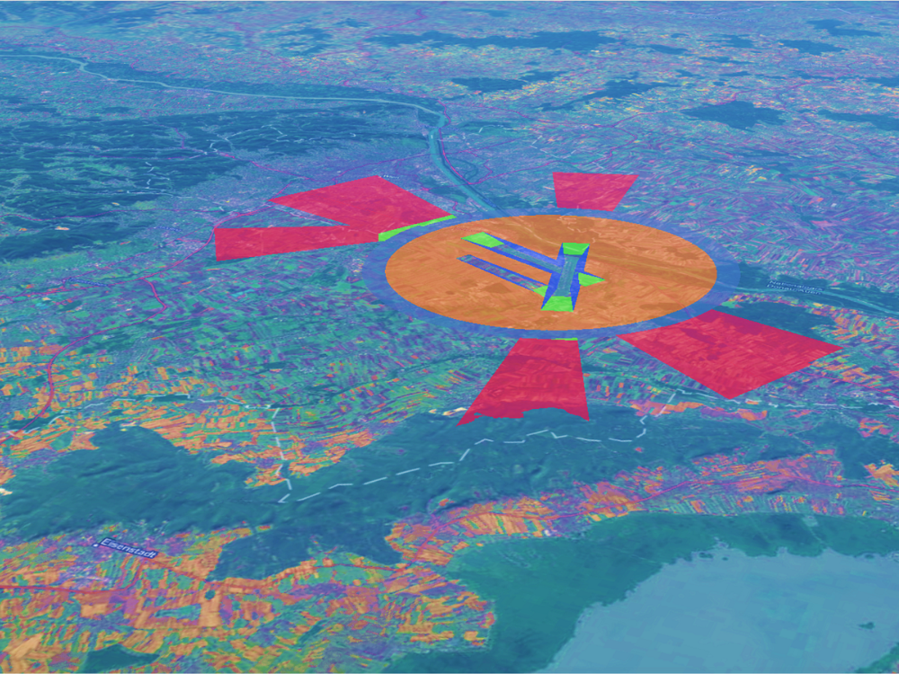
Torge Brunhorn's UNIGIS master thesis deals with the war in Ukraine and its impact on agriculture. Using remote sensing methods, interesting results are generated that provide a more detailed insight into this conflict. Climatological methods are also used for a more precise assessment.